October 2 & 3 Photos

SHARE THIS:
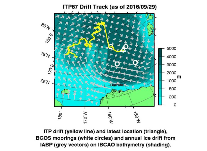
This map shows the journey ITP-67 Buoy recovered today has taken over the past year, and the straight line shows where information is missing and where Rick has projected a possible track when it went dark.
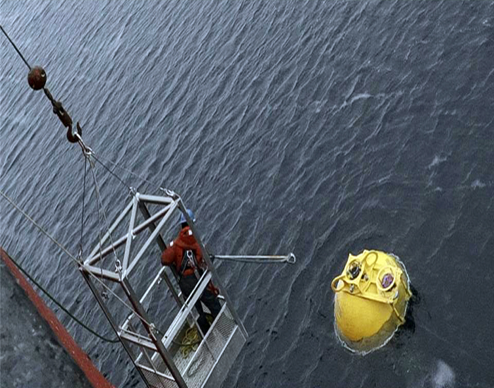
Will Ostrom again over the side to hook onto the Mooring float to begin to pull in the 3800 meters of wire rope and instrumentation.  It’s a long process to pull all the parts of the mooring onboard. (Peter Lourie)
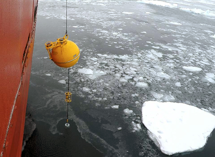
The float with the upward looking sonar (ULS) and acoustic doppler current profiler (ADCP) coming on board. (Peter Lourie)
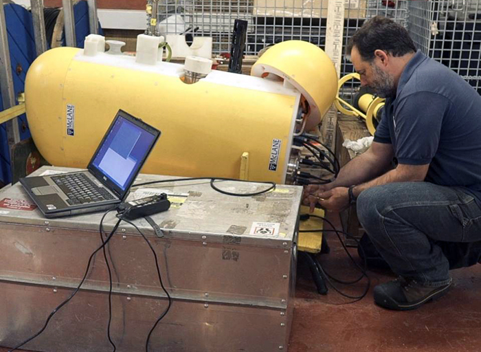
Jeff O’Brien in the hold unplugging wires so he can extricate the cylinder from the mooring profiler (MMP) to retrieve the data. (Peter Lourie)
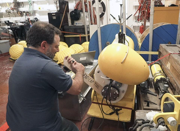
Jeff uses a special tool, a simple piece of wood, to help delicately open up the cap so as not to damage it. (Peter Lourie)
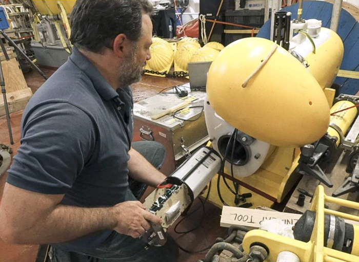
Carefully taking out the cylinder. (Peter Lourie)
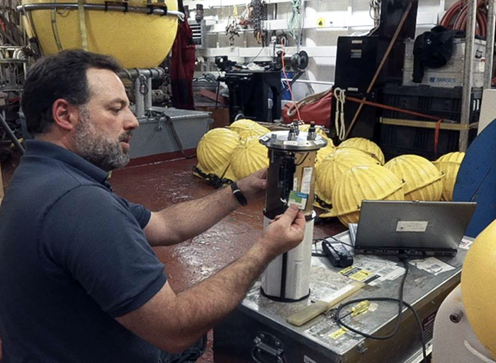
Jeff shows the “gold nugget,” the compact flash card with all the data from one year of ocean profiles that will be downloaded and analyzed. (Peter Lourie)

Image and Visual Licensing

Text, images, graphics and other material contained on this website are subject to copyright. For more information or to license material, please contact the Director of Digital Assets, images@whoi.edu or (508) 289-2647.

Explore Visual WHOI

Search multimedia database

License our Visuals