September 21st Slideshow

SHARE THIS:
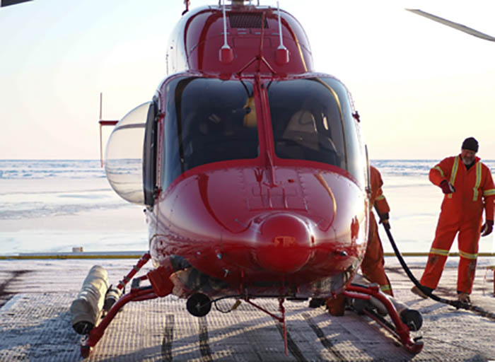
Helicopter engineer Stephen Lloyd (CCG) over sees the fueling of the ship’s Bell 429 helicopter. (Fred Marin)
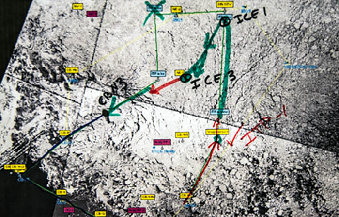
A satellite image showing a hand drawn cruise track illustrating how we were against the grain of the ice floes once we turn west, and south. (JOIS/BGOS)
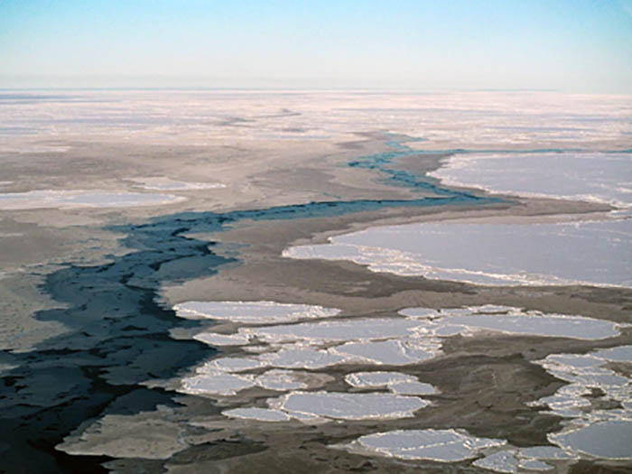
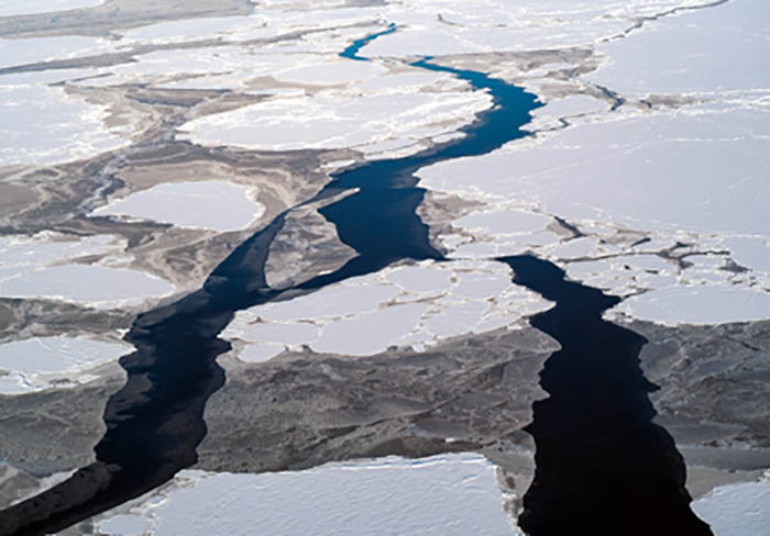
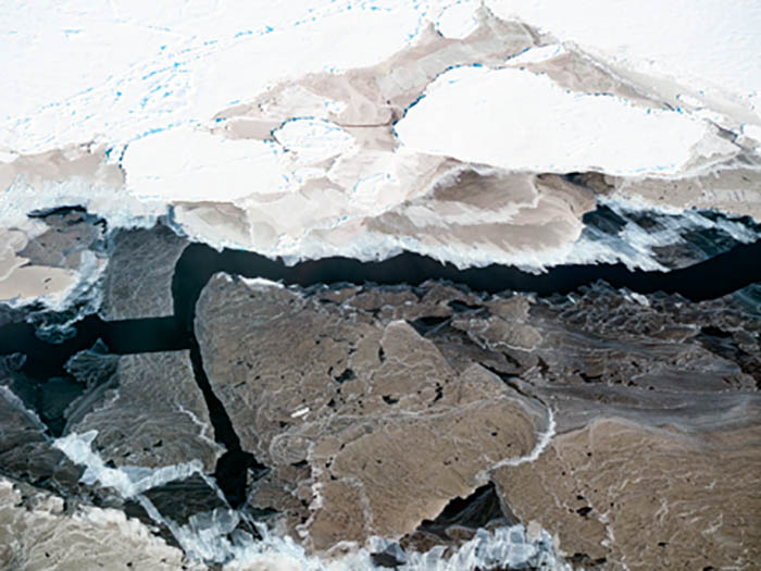
Aerial view of a long “lead” between ice covered seas. (Kohei Sato)
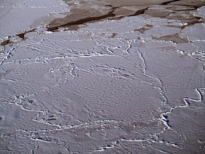
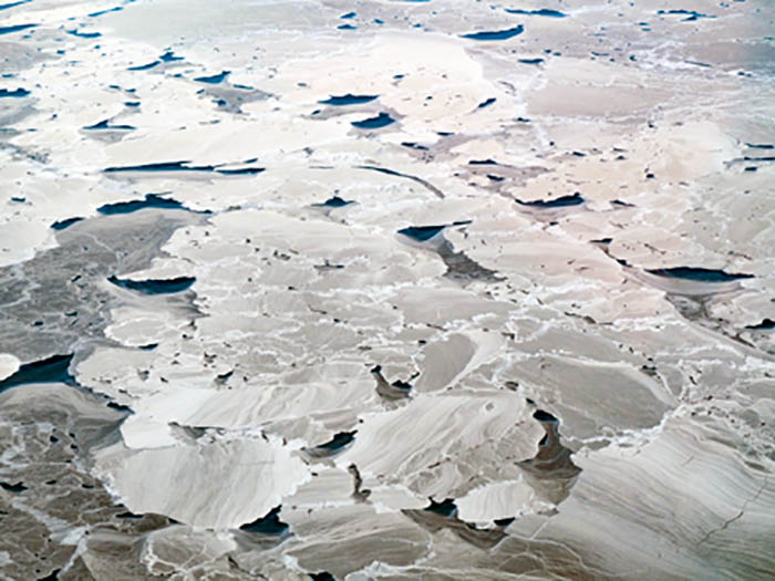
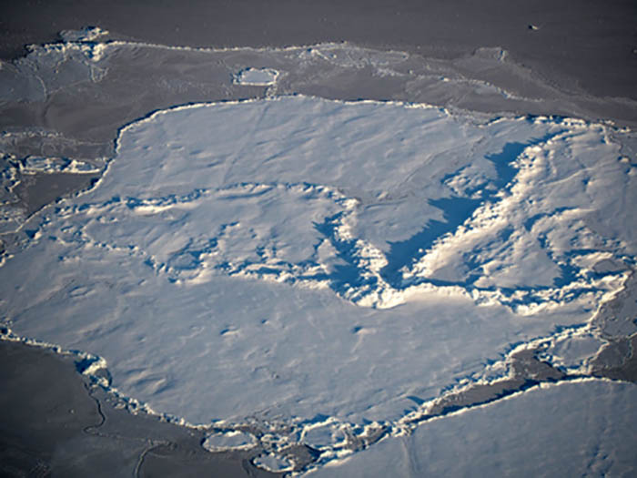
An ice floe showing fractures seen as raised ridges across the otherwise smooth snow covered sheet. (Kohei Sato)
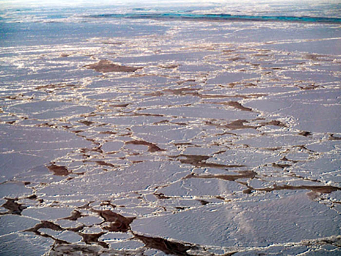
This aerial photo demonstrates the expansive cover of the Arctic sea ice. (Kohei Sato)
A patchwork of ice floes across the Beaufort Sea. (Kohei Sato)
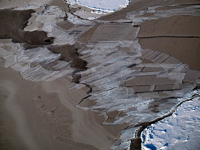
Ice has a variety of forms, here these thinner ice sheets fracture in a way that emulates patchwork farm lands you would see from an airplane. (Kohei Sato)
Open water, or “leads” between ice cover form a waterway ideal for icebreakers to navigate. (Kohei Sato)
From a height, ice cover looks strangely like land with a river running through it. (Kohei Sato)
Ice floe with pronounced ridges zig-zagged across where it has fractured in the past. (Kohei Sato)
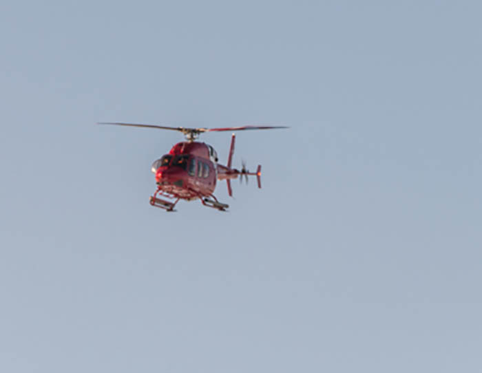
Peer Klattenhoff (CCG), pilots the helicopter back to the ship. (Gary Morgan)
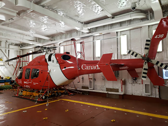
Helicopter engineer Stephen Lloyd (CCG), quickly has the helicopter safely secured the its hanger. (Fred Marin)

Image and Visual Licensing

Text, images, graphics and other material contained on this website are subject to copyright. For more information or to license material, please contact the Director of Digital Assets, images@whoi.edu or (508) 289-2647.

Explore Visual WHOI

Search multimedia database

License our Visuals