Mooring and buoy slideshow

SHARE THIS:
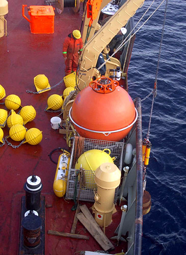
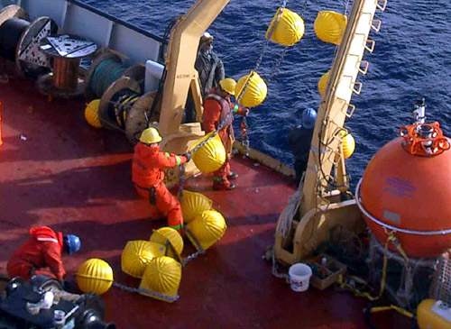
Mooring “C”. The anchor and buoyant floats are the first to be lowered into the ocean.
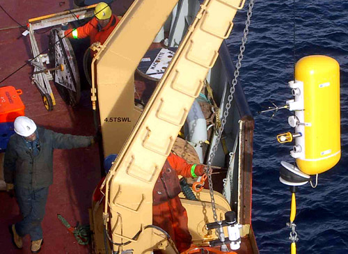
McLane Moored Profiler attached to the mooring wire and ready to measure ocean currents and seawater temperature and salinity from 50 to 2000 meters depth with a resolution of approximately 1 meter.
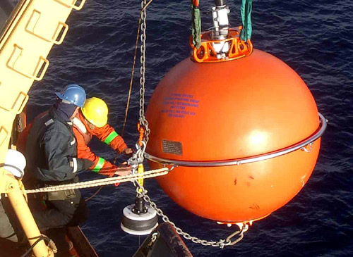
The final operations of the mooring deployment. Seconds later the top flotation sphere was released and submerged. With the mooring anchor at the bottom, the sphere is at 46-meter depth, keeping the mooring wire taut and allowing the profiler to travel up and down along the wire while collecting oceanic data.
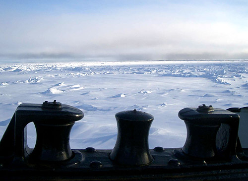
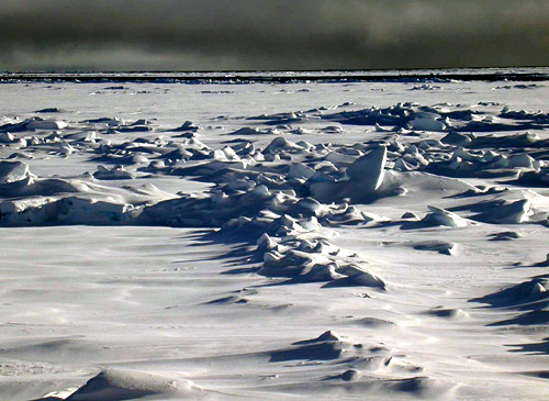
Barren snow-covered icefloe.
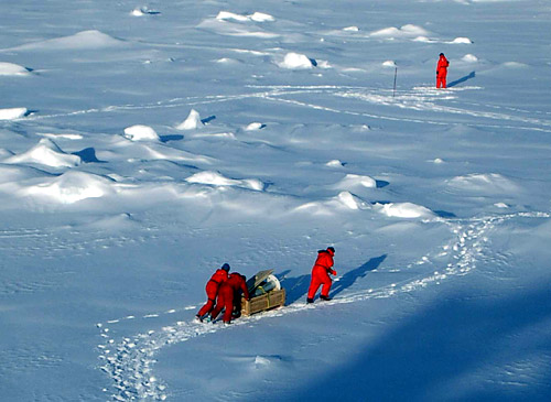
Caravan for buoy deployment.
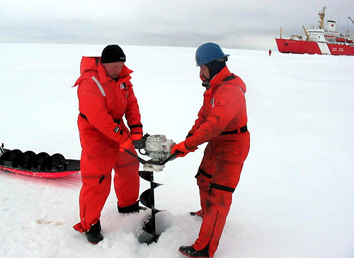
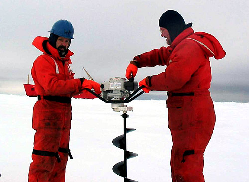
Drilling a 10” hole through the 240 cm thick icefloe using an ice auger can be a laborious and time consuming activity.
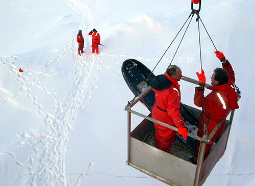
Being hoisted back to the ship.
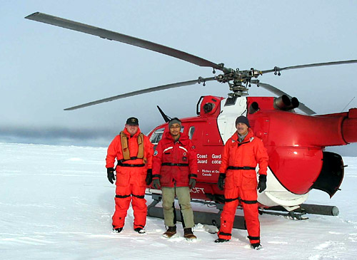
Landed on an ice floe to check its thickness during the last sea ice reconnaissance flight (left to right: Scott Payment, Kiyoshi Hatakeyama, and Adrian Godin).
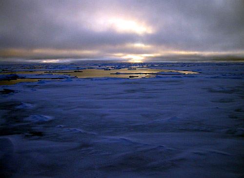
Seascape changes rapidly from wide areas of open water to 100% ice concentration conditions.

Image and Visual Licensing

Text, images, graphics and other material contained on this website are subject to copyright. For more information or to license material, please contact the Director of Digital Assets, images@whoi.edu or (508) 289-2647.

Explore Visual WHOI

Search multimedia database

License our Visuals