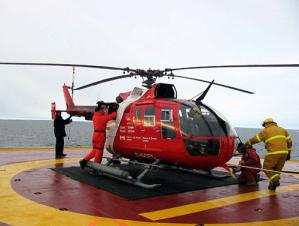
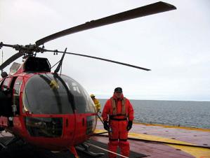
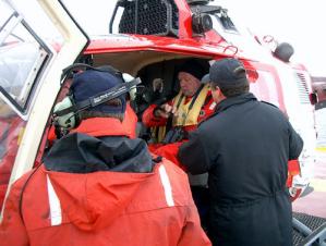
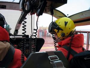
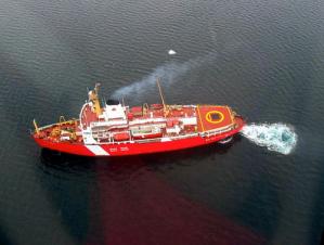
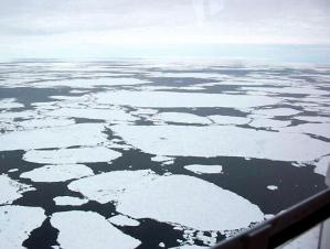
During next two weeks, we will gradually move in the direction of Kugluktuk. There is still a lot of work waiting for us. The event of reaching the expedition’s turning point also became a turning point in the weather and sea ice conditions. Pleasant, cooperative Arctic weather that had accompanied our work during the first two weeks, changed rapidly in the morning. We planned to deploy one of our four expendable buoys on August 21st, but wanted to make sure that the buoy would be installed on an old ice field with a thickness of about 2 meters so that it would work for at least one year, sending oceanic water temperature and salinity data to the Woods Hole Oceanographic Institution two times per day. Therefore, Scott Payment, the ship’s Ice Observer, Adrian Godin, helicopter pilot, and WHOI scientist Andrey Proshutinsky executed a 90-minute ice reconnaissance helicopter flight to search for an appropriate ice field. No good ice fields were found, and fog, clouds and a general decrease of visibility forced us to return to the ship. We decided that the search would be repeated during the 1-2 days, hoping that winds and currents would move the old and thick ice to the southeast – region of our future work. Last updated: October 7, 2019 | ||||||||||||||||||||
Copyright ©2007 Woods Hole Oceanographic Institution, All Rights Reserved, Privacy Policy. | ||||||||||||||||||||