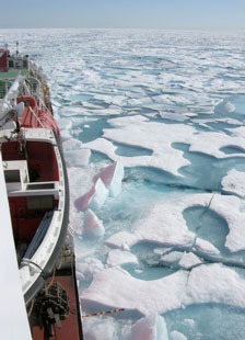
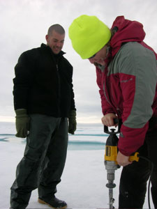
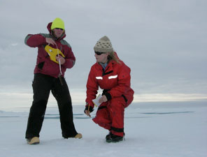
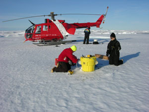
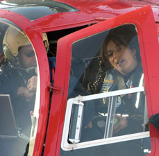
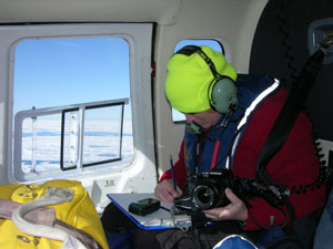
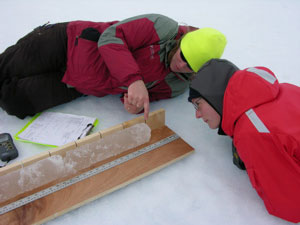
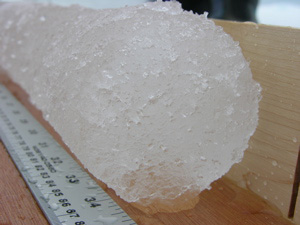
Luc RainvilleAugust 14, 2007In many ways, the ice is very inconvenient for our work. Most people here are interested in the water properties. Of course the ice is what makes this ocean so different than the others, but it makes it very difficult to sample the water column. First you need a big ice breaker to get here (comfortable but very expensive), even then you can't always go where you want, and there often is the stubborn ice floe drifting towards the wire when your instrument is 3000 meters down... But we need to understand the ice. The formation and melting of the ice are driving changes in the ocean temperature, salinity, and density. The ice also creates a boundary separating the water from the atmosphere, so that the heat from the sun and the momentum (motion) for the wind have to go through an additional step before being transferred to the water column. Jennifer Hutchings and her student Alice Orlich, of University of Alaska, are on board the Louis to study the ice. The record the characteristics of the ice along the ship track - every hour, on the dot, you can see them going up to the bridge, staring at the ice for a while, and scribbling some code on the log sheet. They have also been deploying tracking floats, which will be sending their position every 10 minutes for the next couple of years, providing a measurement of how the ice moves around in the Beaufort Gyre and, by having an array with 10-km spacing, its deformation (convergence and divergence). Whenever they have the opportunity, Jenny and Alice go to the ice and directly measure thickness and freeboard (height of the top of the ice above water line) by drilling a small hole and lowering a locking measuring tape. They also collect ice sample and ice cores. Combining these direct observations with satellite measurements and numerical model help predict and understand the ice conditions, both in the present and in the future.
Last updated: October 7, 2019 | ||||||||||||||||||||||||||||||||||||||
Copyright ©2007 Woods Hole Oceanographic Institution, All Rights Reserved, Privacy Policy. | ||||||||||||||||||||||||||||||||||||||