Gerty WardJuly 30, 2008What is the best way to see what is ahead? The best way to see what is ahead is to go look!
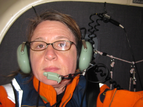
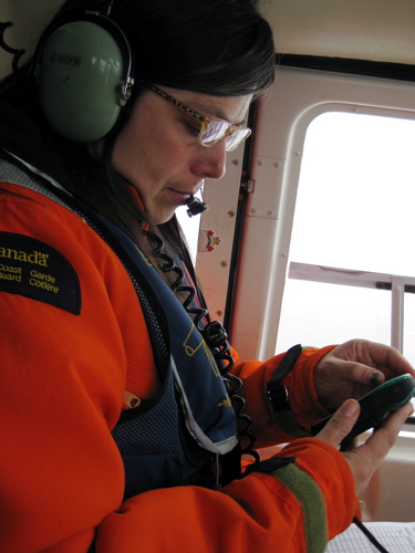
This morning I had the opportunity to join the LSSL Ice Observer Marie-Claude Bouchard and U. of Alaska, Fairbanks, student researcher Alice Orlich on an ice reconnaissance flight. The purpose of the flight was to verify ice conditions ahead so that Captain McNeill knew what to expect during the mooring recovery scheduled for the next day. Marie-Claude is in her second year as an "ice pick." She explained that ice conditions are standardized: she reports "the egg," a series of numbers that describe the amount, age and size of ice observed. (Please see Sea Ice Facts in the Resources section of my PolarTREC journal for a detailed description of "the egg"). Her data is combined with remote sensing (satellite images) and ice climatology (a 30-year historical record of ice conditions at a given time and place) to give a complete picture of current ice conditions. These data allow Captain McNeill to navigate for the mooring recovery. Alice Orlich works for Dr. Jennifer Hutchings of IARC based on the UAF campus. The main focus of her work is physical properties of sea ice dynamics. Alice is looking at ice to verify ship-based observations with an overhead view provided by the helicopter.
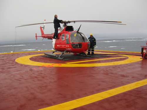
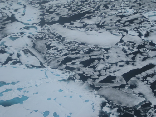
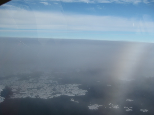
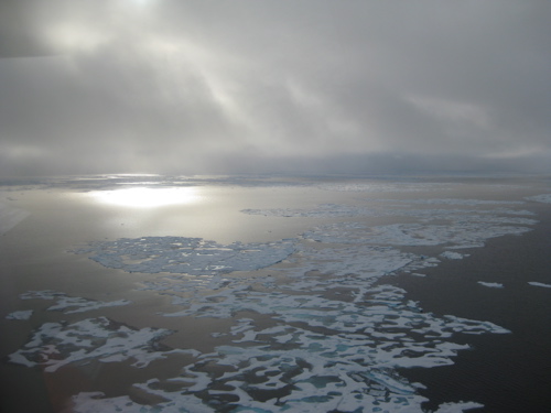
We flew along the 150 longitude line because this is the ship's track and it provided a good reference point. We flew for about 1 hour, observing the ice cover at the next two stations. We also saw a fat seal, two Beluga whales and animal (bear?) prints in the ice. And we saw ice and water, in all directions--an alien and beautiful landscape. We flew most of the time under the fog. When a hole appeared pilot Chris Swannell rose above to get a long-range view.
All photos by PolarTREC teacher Gerty Ward unless indicated. Last updated: October 7, 2019 | |||||||||||||||||||||||||||||
Copyright ©2007 Woods Hole Oceanographic Institution, All Rights Reserved, Privacy Policy. | |||||||||||||||||||||||||||||