Please note: You are viewing
the unstyled version of this website. Either your browser does not support CSS
(cascading style sheets) or it has been disabled. Skip
navigation.


Rick KrishfieldAugust 29, 2006
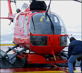
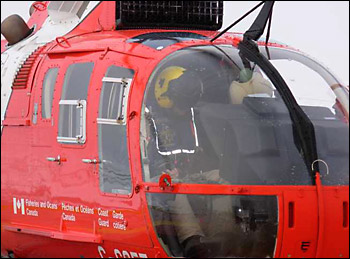
There are a lot of safety regulations that must be followed when flying on helicopters, especially over water or in the Arctic. There are strict rules governing the amount of visibility necessary to fly. There are numerous safety devices that need to be carried on board the helicopter in case of any emergency. Everyone on a flight wears a life preserver, and has adequate clothing to keep warm in case the aircraft is grounded for a time. Furthermore, there are inflatable floats attached to the landing gear that automatically inflate if the helicopter were to land in water. Plus there are many so many others that it would be impossible to describe them all here. There are also a number of safety precautions that need to be followed when operating near a helicopter. First of all, one needs to keep one’s head down when approaching or leaving the helicopter, so that an errant blade rotation does not make contact. This also means that you never should approach a helicopter going downhill, or leave a helicopter going uphill (but this is not normally a concern in the relative flatness of the Arctic ice). Furthermore, it is always stressed that one should NEVER walk behind the aircraft, because the tail rotor is not clearly visible when it is spinning. Now this may sound like a lot of rules, but with an experienced pilot like we have on the Louis, Chris Swannell, flying is safer than driving through rush hour in your hometown. As to our ice recon, we were sorely disappointed to find no multiyear icefloes anywhere around, so had to defer our buoy deployment to another day. Last updated: October 7, 2019 | |||||||||||||||||||
Copyright ©2007 Woods Hole Oceanographic Institution, All Rights Reserved, Privacy Policy. | |||||||||||||||||||